Guiding Lights of the Black Sea: The Maritime Navigation History of Nessebar
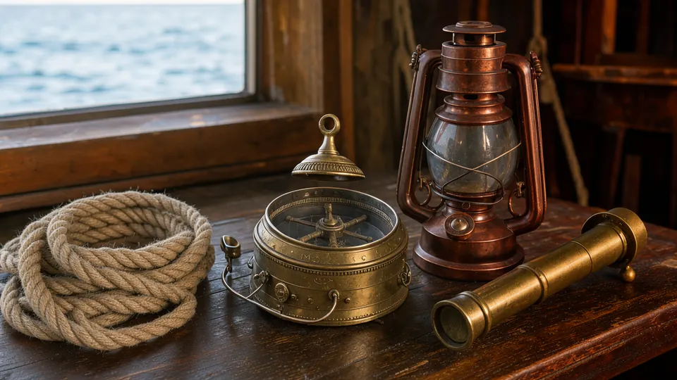
Nessebar's very existence is a testament to its profound relationship with the Black Sea. For over three millennia, this rocky peninsula has been a coveted harbour, a strategic naval base, and a bustling commercial hub. Ships from across the ancient and medieval world sought its shores. But how did they find this small, windswept outcrop in the vastness of the sea? The story of Nessebar is inseparable from the story of maritime navigation—a silent, evolving science of lights, landmarks, and stars that guided sailors to safety.
From the bonfires of Thracian sailors to the precise signals of modern GPS, the methods of finding Mesembria have mirrored the technological and political currents of the ages. This is the story of the unseen lifeline of the city: the art and science of navigating the often-treacherous waters of the Pontus Euxinus to reach one of its most enduring ports.
Navigating the Euxine Sea: The Perils of Ancient Seafaring
The ancient Greeks first knew the Black Sea as the Pontos Axeinos, the 'Inhospitable Sea.' The name was a chillingly accurate description. Lacking the myriad islands of the Aegean that offer shelter and navigational aids, the Black Sea was a vast, open expanse prone to sudden, violent storms and dense, disorienting fogs. Early mariners in their oar-powered galleys and rudimentary sailing vessels were forced to practice *cabotage*—coastal sailing—rarely losing sight of land.
In this context, Mesembria's geographical position was a blessing. The peninsula, jutting out from the coastline at the heart of a wide bay, was an unmistakable landmark. For a ship travelling south from the Danube Delta or north from the Bosphorus, the silhouette of the Balkan Mountains (the ancient Haemus Mons) terminating at Cape Emine, followed by the distinctive shape of the Nessebar peninsula, was a critical waypoint. The city itself, perched on the rocks, would have been visible from miles away on a clear day.
However, visibility was not guaranteed. At night, in fog, or during a storm, the coast became a mortal enemy. Unseen rocks and treacherous shallows could tear a ship apart. The challenge for ancient sailors was not just finding the bay, but safely identifying the narrow entrance to Mesembria's twin harbours—the larger southern commercial port and the smaller, more sheltered northern one. This required more than just landmarks; it required light.
Beacons in the Dark: Early Navigational Aids for Mesembria
Long before the invention of the modern lighthouse, coastal communities used fire to guide ships home. It is almost certain that the earliest inhabitants of Mesembria, and later the Greek colonists, maintained beacons on the highest points of the peninsula. These would have been simple but effective: large, continuously fed bonfires, likely positioned near the main gate or on the most seaward-facing fortifications. The glow from such a fire could be seen for many miles over the water, providing a crucial point of reference in the darkness.
Some historians speculate that major temples, often built on prominent locations, also served as daytime navigational aids. The great Temple of Apollo, the patron deity of Mesembria, would have been a magnificent structure, its light-coloured stone or marble gleaming in the sun, acting as a man-made landmark for approaching vessels. At night, the light from sacrifices or eternal flames within the temple complex might have offered a faint, secondary beacon.
Beyond these shore-based aids, ancient mariners were masters of celestial navigation. They used the positions of the sun, the Pole Star (Polaris), and key constellations like Ursa Major and Minor to determine their latitude and direction. However, this method was useless on overcast nights. In the end, reaching Mesembria safely often depended on a combination of skill, experience, memory of the coastline, and the simple, welcoming glow of a fire lit by those awaiting their return.
The Ottoman Era and the Rise of Modern Lighthouses
For centuries after the fall of the Byzantine Empire, navigation technology in the Black Sea saw little innovation. The Venetian and Genoese traders who dominated medieval trade relied on improved charts (portolans) and the magnetic compass, but still hugged the coastlines. During the long period of Ottoman rule, which began for Nessebar in 1453, the Black Sea was effectively an 'Ottoman lake,' with maritime traffic controlled by the Sublime Porte.
The 19th century, however, brought profound change. The industrial revolution in Europe and the increasing importance of the grain trade from the Danube region created immense pressure to make Black Sea shipping routes safer and more reliable. The Ottoman Empire, seeking to modernize, began a systematic program of lighthouse construction along its coastlines. This ambitious project was often undertaken with the help of foreign expertise, particularly from French engineers of the Administration générale des Phares de l'Empire Ottoman.
These new structures were marvels of modern engineering. Built of cut stone, they were designed to withstand the fiercest storms. They were equipped with sophisticated Fresnel lenses, a revolutionary French invention that could concentrate light into a powerful, focused beam visible for over 20 nautical miles. Each lighthouse was given a unique 'light characteristic'—a specific pattern of flashes and eclipses—so that mariners could identify their exact location on a chart simply by timing the light. This was the dawn of systematic, safe navigation.
The Sentinel of Cape Emine: Guardian of the Burgas Bay
While Nessebar itself does not have a major lighthouse on the peninsula, the most critical navigational aid for any ship approaching the region is the magnificent lighthouse at Cape Emine, located about 15 kilometres to the north. Cape Emine is a dramatic and dangerous headland, marking the point where the Stara Planina mountain range plunges into the sea. It is the northern sentinel of the great Bay of Burgas, in which Nessebar, Pomorie, and Burgas are nestled.
First commissioned in 1880, the Cape Emine lighthouse stands on a cliff 65 metres above the sea. The white, cylindrical tower itself is 9.4 metres tall. Its powerful light flashes white every 6 seconds and is a vital guide for all maritime traffic. Before its construction, the cape was a notorious shipwreck site, especially in the storms and fogs that frequently roll in from the sea. By providing a clear, identifiable beacon, the lighthouse allowed ships to fix their position accurately before turning south into the relative safety of the bay, from where they could then navigate towards Nessebar's harbour.
For the fishermen and merchants of Nessebar, the steady flash from Cape Emine was more than a navigational tool; it was a symbol of security, a promise that the most dangerous part of their journey was over. It remains a powerful and romantic landmark, its beam sweeping across the water each night as it has for nearly 150 years.
Modern Navigation: From Lighthouses to Satellites
Today, the ancient art of celestial navigation and the 19th-century science of lighthouses have been augmented by the precision of 21st-century technology. Commercial ships, fishing boats, and even the small tourist vessels that sail from Nessebar harbour are equipped with a suite of electronic aids. The Global Positioning System (GPS) provides pinpoint accuracy to within a few metres. Radar cuts through the thickest fog, revealing other ships and the coastline itself. Digital charts (ECDIS) have replaced paper maps, and the Automatic Identification System (AIS) allows vessels to 'see' each other electronically, broadcasting their name, course, and speed.
Yet, the lighthouses endure. The sentinel at Cape Emine is now fully automated, its light still flashing faithfully every night. It serves as an essential backup to the modern systems that can, on rare occasions, fail. More than that, it stands as a living connection to the long history of seafaring on this coast. As you stand on the Nessebar shore at night and look north, you might just see its distant, rhythmic pulse on the horizon—a guiding light that has brought sailors home to these waters for generations, a silent guardian of the sea-road to the ancient city.
Get local stories & deals
One email a month with the best Black Sea stories and seasonal deals. No spam.